Mapping, Geographical Information System (GIS), and Unmanned Aerial Vehicle (UAV) of Environment (KSH1241)
Module objectives/intended
learning outcomes
- Students have the ability to theoretical concepts of mapping,
geographic information systems (GIS) and unmanned aerial vehicle
(UAV) technology for the environment - Students have the ability to apply an interdisciplinary approach in
the utilization of environmental mapping, GIS and UAV in the fields
of ecosystem management, wildlife management, bioprospecting
management and plant conservation, environmental and geospatial
analysis and management of natural recreation and ecotourism
Course description
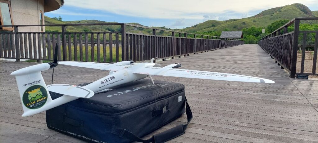
This course offers an opportunity to gain proficiency in mapping,
Geographic Information Systems (GIS), and the utilization of unmanned
aerial vehicles (UAVs or drones) for environmental applications, such as
wildlife monitoring, landscape ecology, and environmental services,
including ecotourism. It covers key aspects such as spatial concepts, GIS
components, software and hardware, data sources and characteristics,
spatial data development and management, spatial references, GPS
measurements, terrestrial mapping, and the latest advancements in GIS
applications such as ArcGIS Online, Story Map, ArcGIS Survey123, and
WebGIS platforms. Additionally, the course explores the use of UAVs to
acquire scientific remote sensing data and the processing of UAV image
data, with a specific focus on their relevance to forest conservation and
ecotourism. In ecotourism application, mapping and GIS play a crucial
role in identifying and assessing ecologically significant areas, creating
visitor maps and guides, and managing natural resources responsibly.
By using mapping and GIS technologies, ecotourism operators can
analyze and visualize environmental data, such as biodiversity hotspots,
hiking trails, and protected areas, enabling them to plan and promote
sustainable tourism activities. The course also delves into the
processing and analysis of drone-acquired data for ecotourism
purposes, emphasizing the integration of mapping, GIS, and drone
technologies to support ecologically conscious decision-making and
enhance the visitor experience in ecotourism destinations.